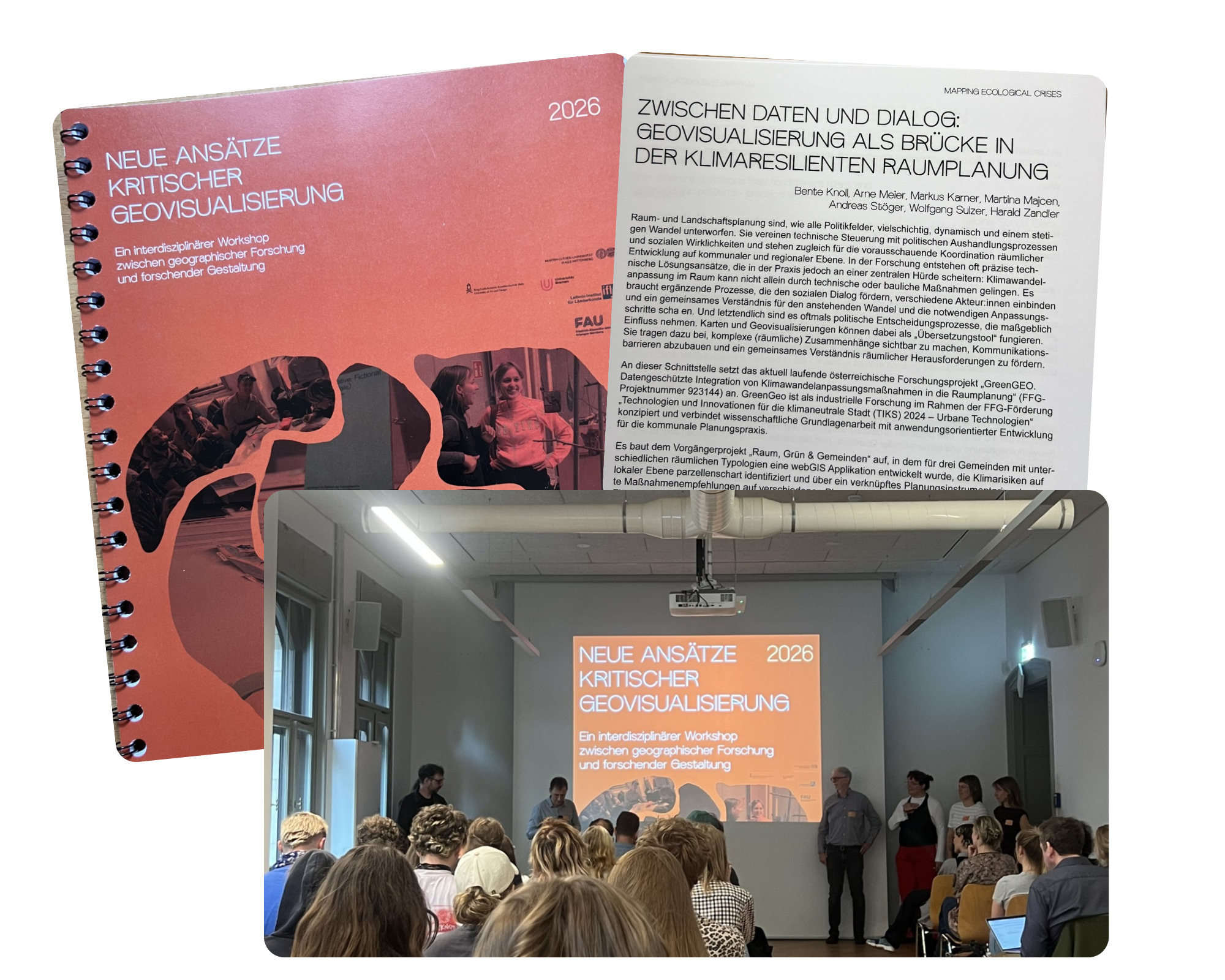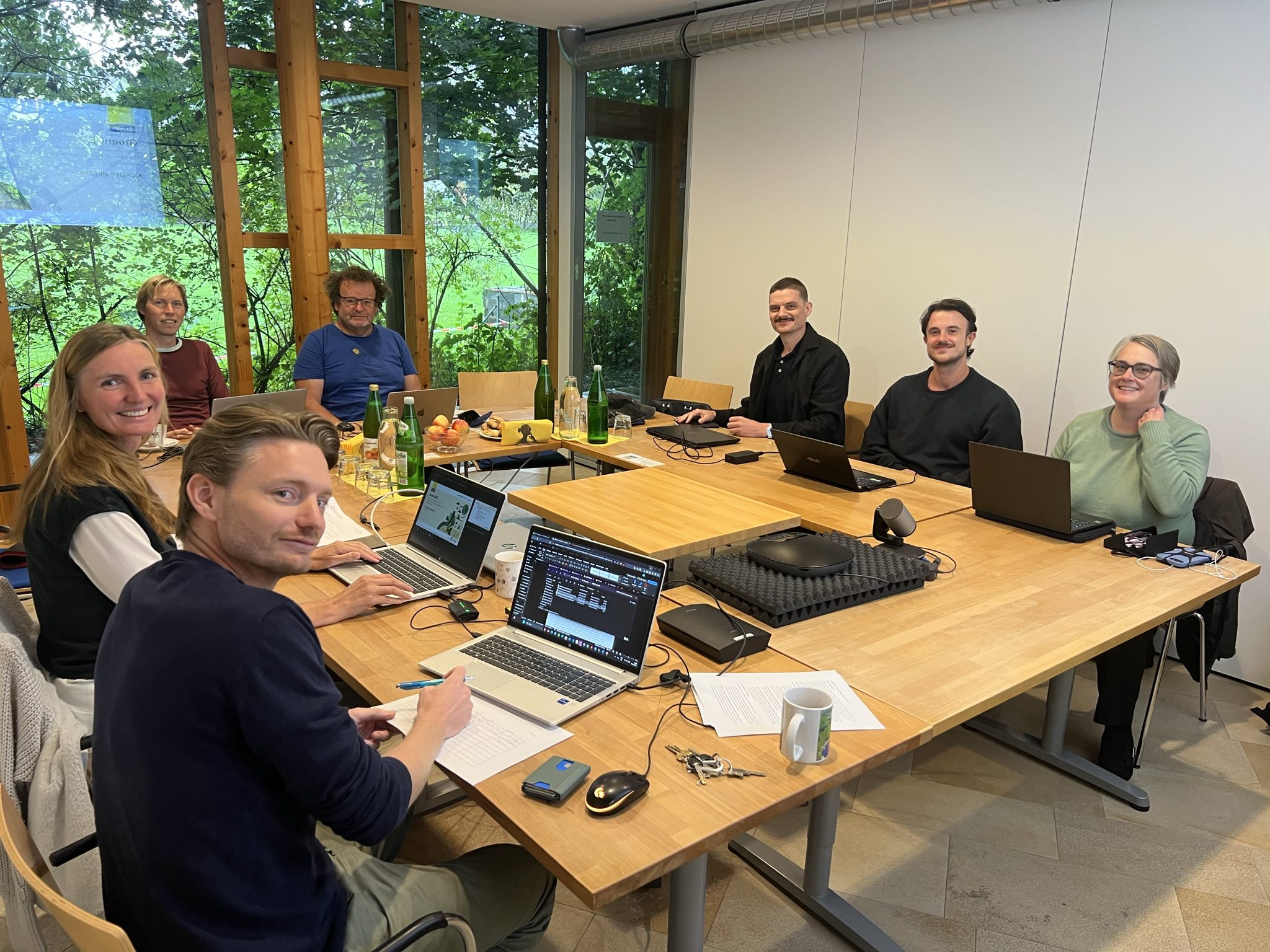


Integrating climate change adaptation measures into spatial planning using data-driven methods
Initial Situation/Motivation
Over the past decade, green and blue infrastructure (GBI) in cities has evolved from serving primarily recreational and leisure purposes to becoming a key tool in the fight against climate change and biodiversity loss. International, national, and local strategies emphasize the need to integrate GBI more closely into municipal planning. Despite the rapidly growing volume of available georeferenced data on climate risks, decision-making in administration and planning remains challenging. This is due to a lack of standardized indicators, uncertainties regarding the effects of GBI, and the absence of clear frameworks for risk mitigation. A data-driven, evidence-based approach, as envisaged in this project, could significantly facilitate and accelerate the implementation of local and regional climate protection measures.
Content and Objectives
To date, local planning practices have lacked a spatial approach that not only provides easily accessible information on climate-related hazards but also offers concrete, scientifically sound recommendations for green and blue infrastructure measures based on a current empirical data model. The goal of the project is to close this gap by developing a digital, data-driven model that links locally existing climate risks with appropriate, concrete GBI measures. This is intended to reduce uncertainties in planning and accelerate the implementation of local climate adaptation measures. In addition, previously unresolved questions regarding the quantification of the effects of GBI measures are addressed through an innovative approach that combines empirical data with broad consensus-based solutions among cities, municipalities, and urban planners.
Methodological Approach
The methodology involves researching and analyzing available georeferenced terrestrial and satellite data on climate risks and existing green and blue infrastructure, creating climate topography and climate function maps, and identifying local climate risk zones. Based on this data, a decision-making model is developed that proposes appropriate GBI measures for specific risk zones. The measures are evaluated in a matrix based on effectiveness, complexity of implementation, and other parameters, and are assigned to specific land-use planning instruments. Finally, the areas of action and measures are visualized on a WebGIS platform. Additionally, stakeholder perspectives are incorporated through workshops and pilot tests.
Expected Results
The project aims to demonstrate the feasibility of a WebGIS-based visualization tool that supports local planning authorities and decision-makers in selecting appropriate climate adaptation measures. This tool is designed to provide geodata- and evidence-based recommendations to help implement climate adaptation measures at the local level more quickly and effectively. In addition, the project is expected to provide valuable insights into climate-risk-relevant geospatial data and integrated decision-making models, giving participating decision-makers a significant leap forward in their understanding of climate change adaptation.
Project Management: AEE – Institute for Sustainable Technologies