New Approaches to Critical Geovisualization 2026
How can climate risks not only be mapped, but also translated into decision-making frameworks that are understandable and compatible with planning processes?
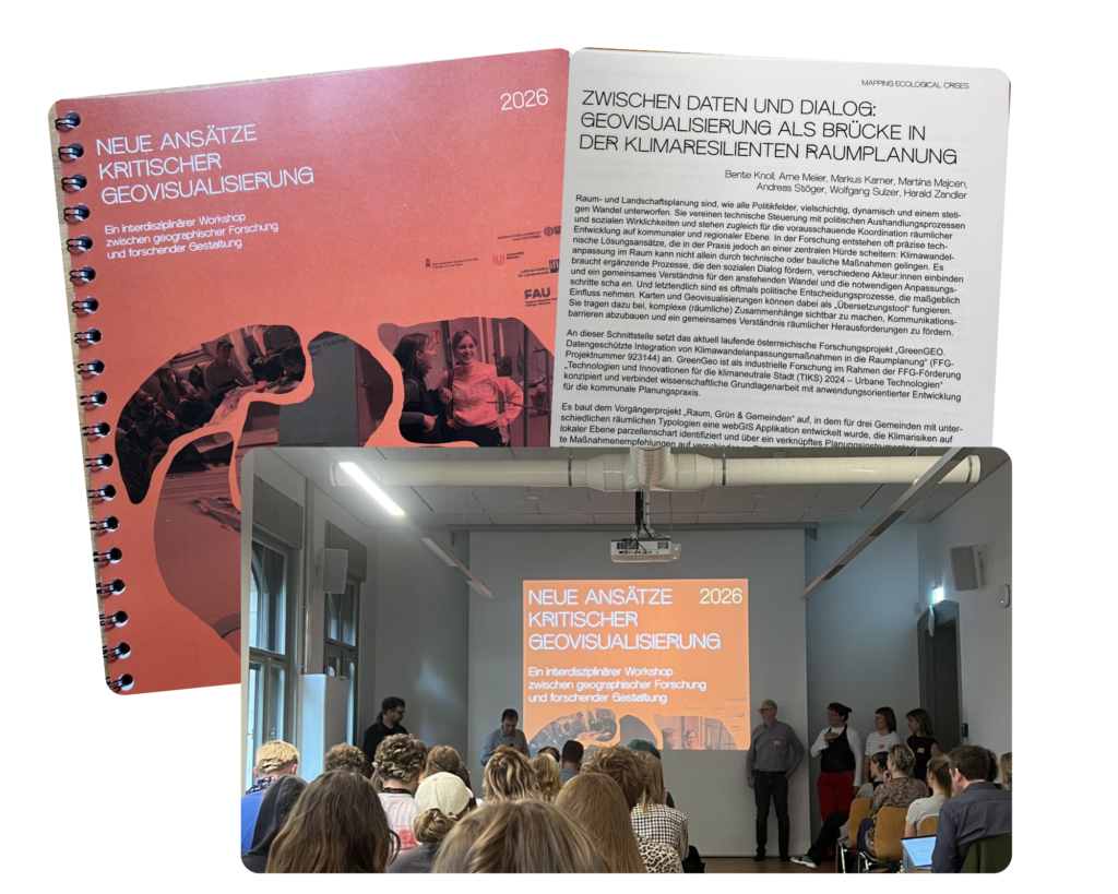
We addressed this question in our presentation “Between Data and Dialogue: Geovisualization as a Bridge in Climate-Resilient Spatial Planning” as part of the interdisciplinary event “New Approaches to Critical Geovisualization 2026,” which took place from June 4 to 6, 2026, at Burg Giebichenstein University of Art and Design Halle.
The three-day program brought together presentations, workshops, and exhibition formats at the intersection of geographic research, design, critical cartography, and artistic-research approaches.
As part of the GreenGEO research project, we participated in the “Mapping Ecological Crises” program track on Friday, June 5. We were able to present initial interim project results and demonstrate how the project operates at the intersection of climate data, local planning practices, and political decision-making. In addition to data, maps, and technical foundations, climate change adaptation also requires dialogue, stakeholder participation, and a shared understanding of which measures are appropriate and feasible where.
The shared exchange and the wide variety of contributions provided new insights and sparked engaging discussions, offering a great opportunity to bring different perspectives into the conversation. Thank you for that!
Giebichenstein University of Art and Design Halle