



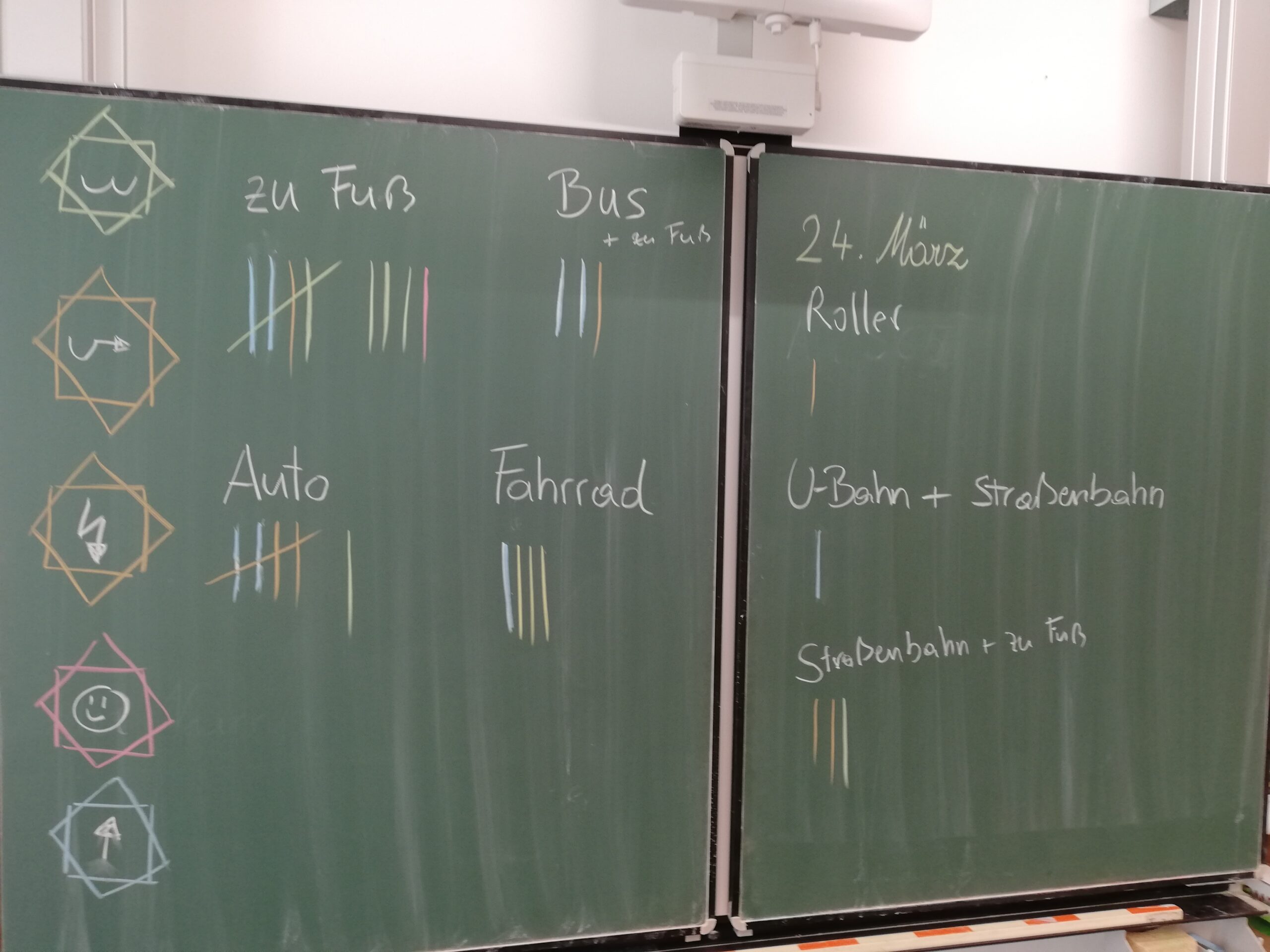
Mini-Cosmos: Streets – What is a street, and who uses it? How do we all get to school?

In this project, students explore the street—both what is visible and what is hidden, above and below...

The SaCANGO questionnaire on the use of satellite-based geodata.

The initial results from the EWV4EnergieWende project were presented at REAL CORP 2026 in Vienna.

Follow-up report on the first information session: ‘Making our neighbourhood fit for the future’
The GreenGEO questionnaire is here! What data is actually needed in planning practice?